
Château-sur-Epte : Castral set
EureReference
PA00099372
Latitude
49.1978
Longitude
1.6615
Address
1 Le Chateau 27420 Château-sur-Epte
Construction era
4e quart 11e siècle;12e siècle;14e siècle;17e siècle
Protection date
1998/06/16 : classé MH
Protection cause
Vestiges, bâtis et non bâtis, de l'ensemble castral (cad. ZC 76 à 82) : classement par arrêté du 16 juin 1998
Description
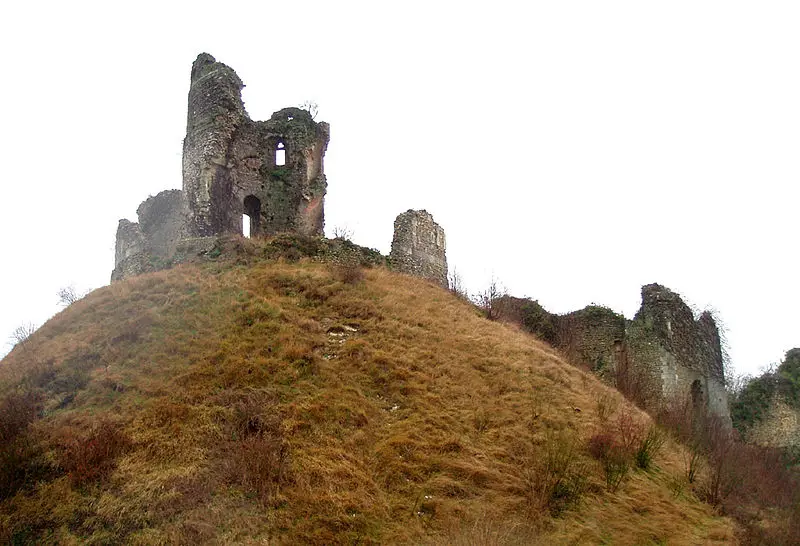
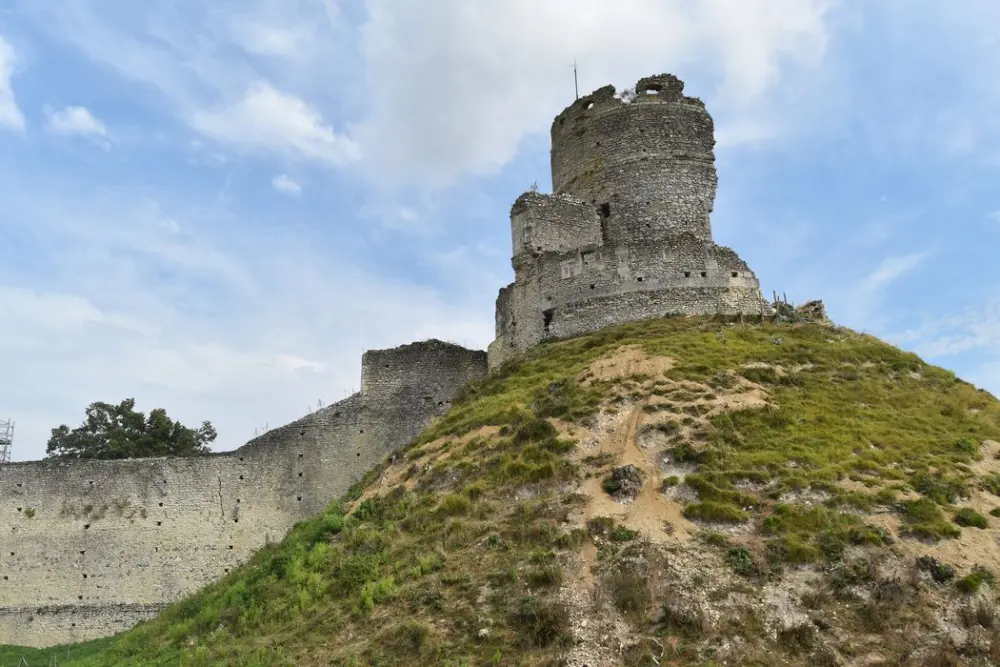
Built from 1097 by Guillaume Le Roux, Duke of Normandy, to secure the border of the Epte, this castle was located at the limit between the Duchy and the Kingdom of France. It was consolidated by the plantages in the 12th century and again during the Hundred Years War. Its importance decreased in the 16th century. In 1647, Mazarin ordered his demolition. Transformed into a farm under the Old Regime, the site includes: a steep castral clod with a stone dungeon surrounded by its wall, a farmyard connected to the motte and protected by a fortified wall with two reinforced doors to the east and to the west (14th century), an old bridge, as well as, in the hideout, a medieval barn, a 17th century housing and a Colombier. The whole, converted into agricultural exploitation under the old regime, is in poor condition.