
Reference
PA00105804
Latitude
46.5685678
Longitude
0.2042341
Address
7 Route de Vouillé 86190 Béruges
Construction era
12e siècle
Protection date
1991/06/13 : inscrit MH
Protection cause
Tour dite de Guyenne (vestiges) (cad. D 53) : inscription par arrêté du 13 juin 1991
Description
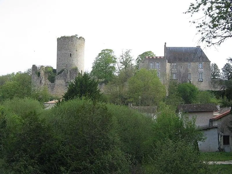
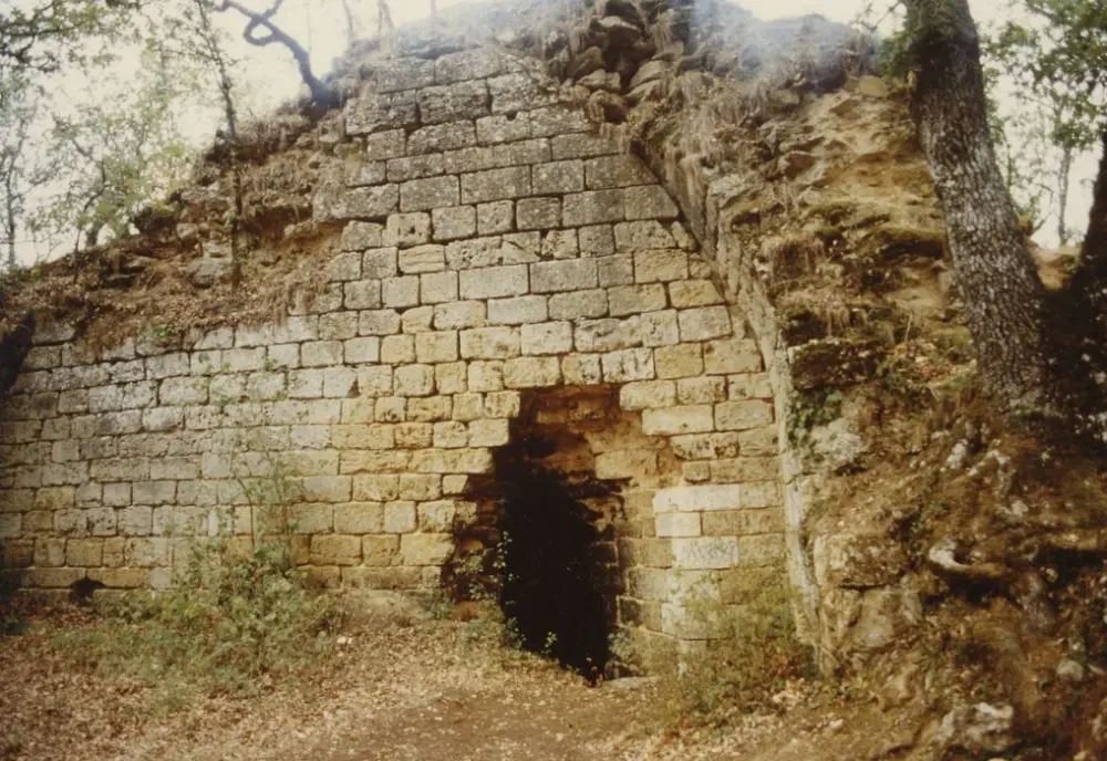
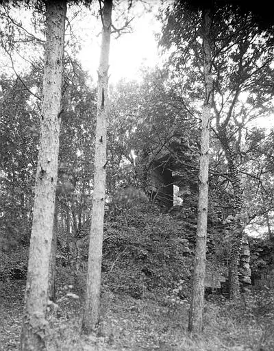
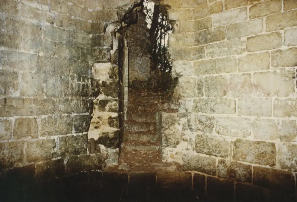
The Domaine de Béruges was under the authority of the Châtellenie of Montreuil-Bonnin. The castle was mentioned in 1124. The tower, called a tower of Guyenne, was taken by storm by Saint Louis in 1242, during his conflict with Hugues X de Lusignan, count of the march and ally of Henri III. This construction was destroyed. The tower was intended to be a arms depot rather than a garrison place. It is mentioned in sales documents in the 15th and 16th centuries, but was apparently not repaired after its destruction. It partially collapsed at the beginning of the 20th century. Located on a rocky promontory overlooking the Boivre and sewing valleys, the fortress has a large square tower, extended to the west by a solid triangular spur. The East entrance is surrounded by two round towers which collapsed. Structures had to protect the tower. Currently, it has two levels. The ground floor is a large square room with a vaulted ceiling in a broken cradle, lit by three loopholes. A square hole above the door should allow us to communicate with the upper floor. At the bottom of the room, a broken arc leads to a niche configured in trompe. We also note the presence of a well and a tank. The floor contains a similar room in ruin and, in the thickness of the spur, an octagonal room. A staircase that was to be covered follows the walls of the tower and provides access from one floor to the other. Above the octagonal room was another room which may have served as an observation post.