Reference
PA00099963
Latitude
45.211210124931
Longitude
1.3671873038129
Address
5018 Le Bourg 19310 Yssandon
Construction era
Moyen Age
Protection date
1963/06/18 : classé MH
Protection cause
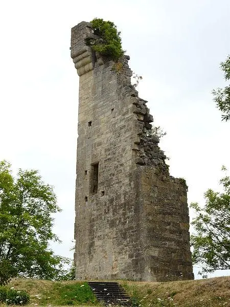
Tour du Puy d'Yssandon (ruines) (cad. AB 91) : classement par arrêté du 18 juin 1963
Description
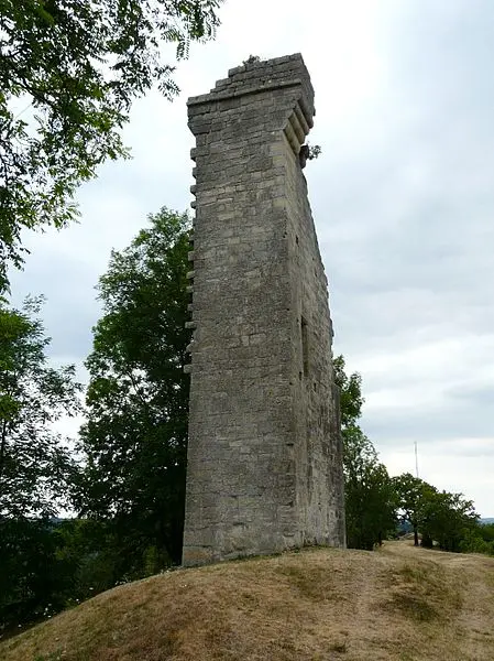
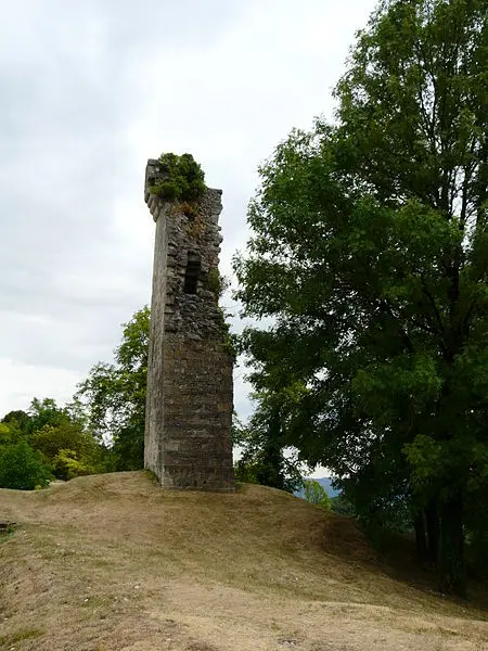
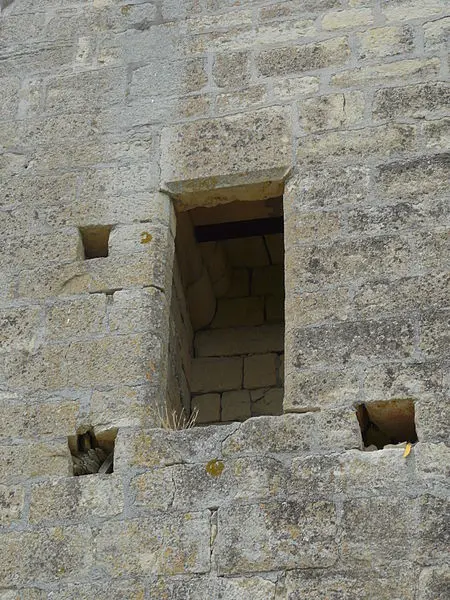
Remains of a sign of signals or watch testify to the military uses of this observatory. The Puy d'Yssandon seems to have been a Gallic oppidum, possibly a Roman camp, as well as a castrum mentioned in 573 in the Testament of Saint-Yrieix. Pépin le Bref takes it during his conflict against Waïffre, Duke of Aquitaine (760-768). Subsequently, the tower was the property of the Lord of Luke, and the castle, of which it is the only vestige still visible since the 15th century, dominated the territory. The tower is built in granite masonry with a regular layout.