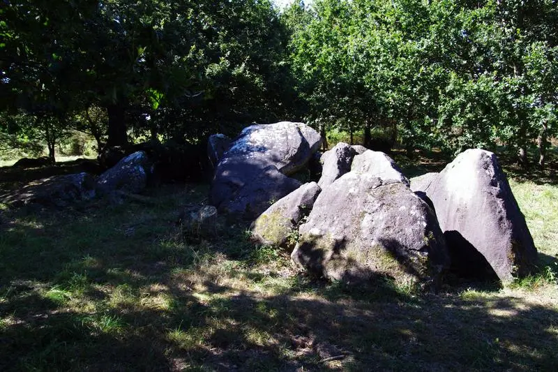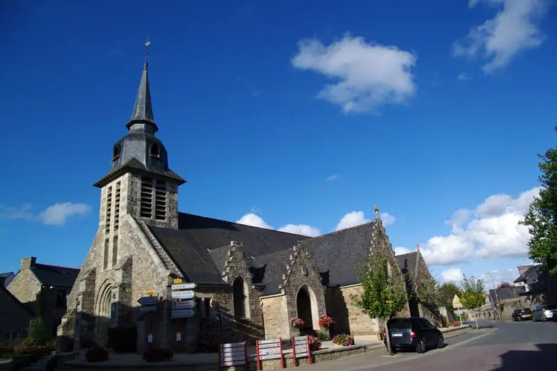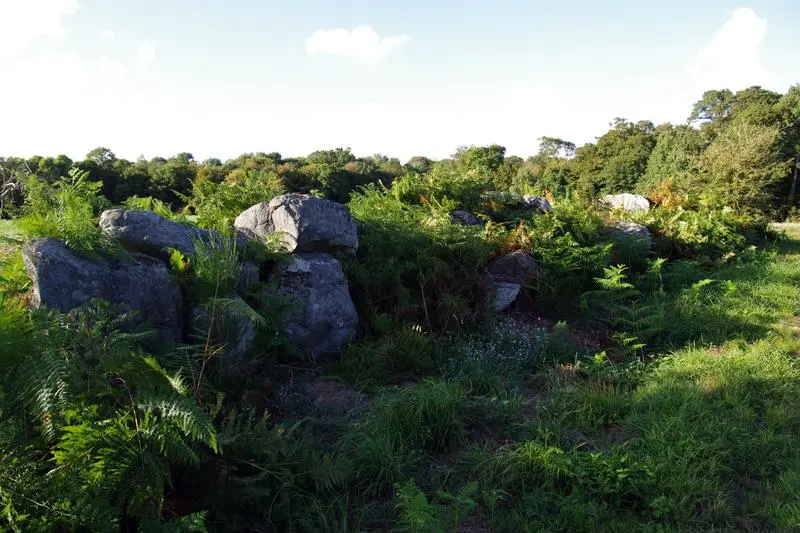
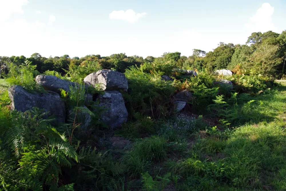
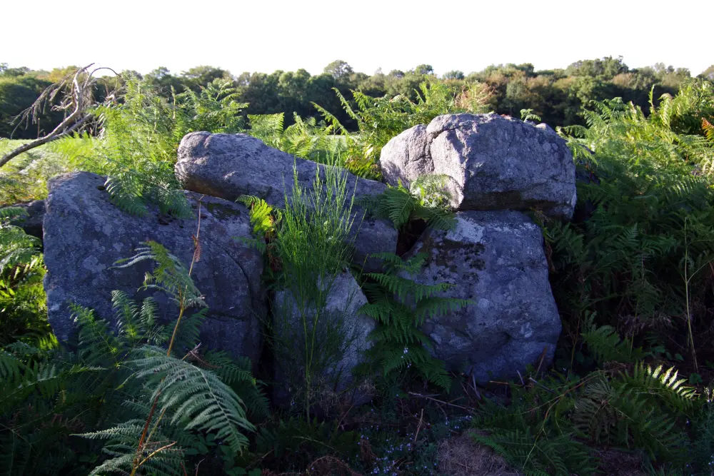
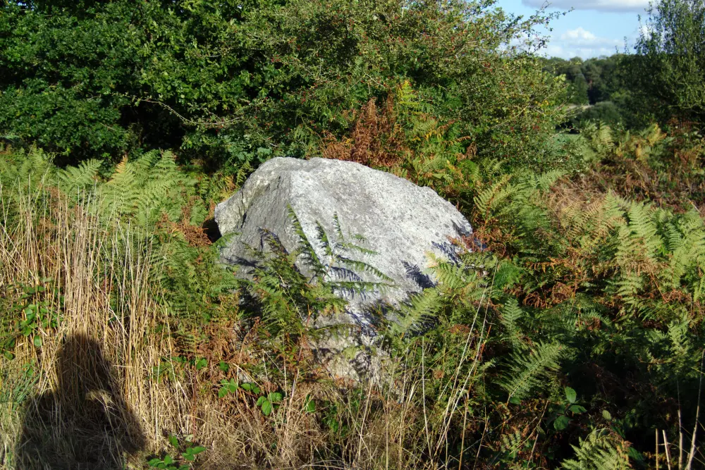
Picture of Covered and alignment of menhirs indicators of Saint-André - Dolly11 - © Creative Commons (https://creativecommons.org/licenses/by-sa/4.0/deed.fr) Picture of Covered and alignment of menhirs indicators of Saint-André - Sous licence Creative Commons (https://creativecommons.org/licenses/by-sa/4.0/deed.fr) - Par Dolly11 - © Creative Commons (https://creativecommons.org/licenses/by-sa/4.0/deed.fr) Picture of Covered and alignment of menhirs indicators of Saint-André - Sous licence Creative Commons (https://creativecommons.org/licenses/by-sa/4.0/deed.fr) - Par Dolly11 - © Creative Commons (https://creativecommons.org/licenses/by-sa/4.0/deed.fr) Picture of Covered and alignment of menhirs indicators of Saint-André - Sous licence Creative Commons (https://creativecommons.org/licenses/by-sa/4.0/deed.fr) - Par Dolly11 - © Creative Commons (https://creativecommons.org/licenses/by-sa/4.0/deed.fr)

Plédéliac : Covered and alignment of menhirs indicators of Saint-André

Côtes-d'Armor

Reference

PA00089395

Latitude

48.482039

Longitude

-2.409364

Address

22270 Plédéliac - France

Construction era

Néolithique

Protection date

1970/08/26 : classé MH

Protection cause

Allée couverte et alignement de menhirs (cad. D 236, 240 (2ème feuille) ) : classement par arrêté du 26 août 1970
Close monuments