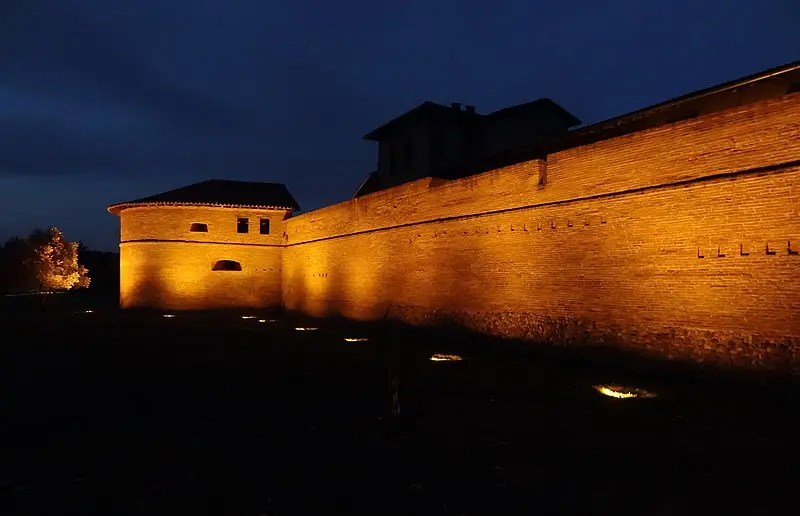
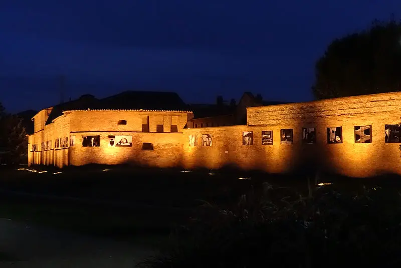
Toulouse : Former Saint-Cyprien ramparts
Haute-GaronneReference
PA00094633
Latitude
43.6001204
Longitude
1.4298792
Address
91 Allée Charles de Fitte 31300 Toulouse
Construction era
14e siècle;15e siècle;16e siècle
Protection date
1988/12/05 : classé MH
Protection cause
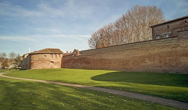
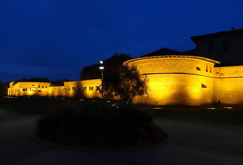
Remparts comprenant quatre tours (tour de l'Isle, Tour de la Menuiserie, Tour du Matériel, Tour Taillefer) , la courtine partant de la Tour de l'Isle et reliant les tours entre elles, la partie du sol comprise entre les deux tours médianes (renferméepar la section C du plan du dossier) (cad. AD 20) : classement par arrêté du 5 décembre 1988
Description
This section of the wall began at the river and followed the closedy Taillefer or closed from the hospital to the Porte Réclusane. The 14th century wall was often damaged by floods. Around 1430, a reconstruction took place, raising a wall 5.40 meters high. In 1513, the city launched an important project to build defense towers along the ramparts. Eleven laps have been built, including four on this section. The 18th century town planning work led to the destruction of the Saint-Cyprien enclosure, with the exception of this segment.