


Reference
PA00135359
Latitude
48.10971278
Longitude
-3.4495514
Address
5001 Kermain 56630 Langonnet
Construction era
Milieu du Moyen Age
Protection date
1995/11/28 : inscrit MH
Protection cause
Ensemble de la motte castrale et de ses fossés, ainsi que le terrain (sol et sous-sol) sur lequel il est établi, à savoir les parcelles YX 7 et 48a : inscription par arrêté du 28 novembre 1995
Description
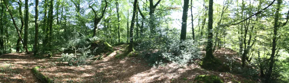
The fortification is in a swamp valley near the Kermain farm. It is made up of a trunconcier clod measuring 3 meters in height and 40 meters wide, surrounded by ditches filled with water, powered by a disturbance of the stream. The top of the mound keeps leftovers of a circular structure in cut stone about 7 meters in diameter. This clod, probably of late creation, certainly had a more residential than military function.


