

Reference
PA56000001
Latitude
48.0701
Longitude
-2.1727
Address
5072 Comper 56430 Concoret
Construction era
4e quart 14e siècle;17e siècle;2e moitié 19e siècle
Protection date
1996/05/21 : inscrit MH partiellement
Protection cause
Enceinte, manoir, cour, digue et douves (cad. C 568, 567, 561, 565) : inscription par arrêté du 21 mai 1996
Description
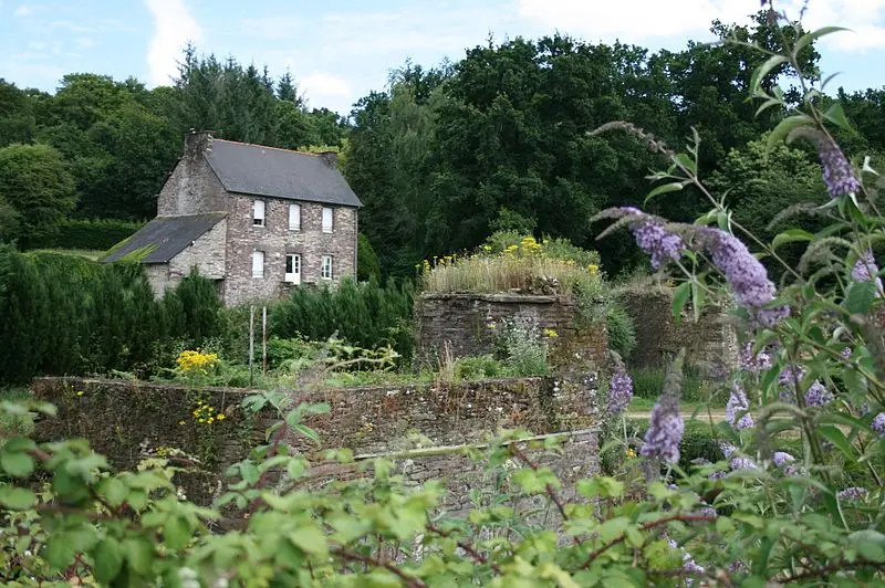
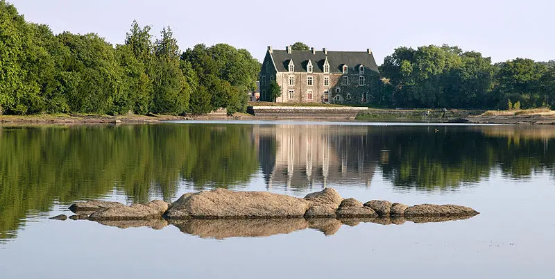
Comprier, located at the northwest end of the Paimpont forest, is surrounded by five ponds, including the large pond, which fueled the castle ditches. The first historical mention dates back to 1301. After the arrival of Jean de Montfort to the Duchy of Brittany under the name of Jean IV, Breton lords, led by Bertrand du Guesclin with the support of the King of France, destroyed the castles of Mauron, Gaël, Comprier, Bontavant and Montfort. In 1375, Montfort and Commer were restored by the counts of Gaël-Montfort, and the ruins of the castle that we observe today would come from this period of reconstruction. The Château de Comper is divided into two sections: the enclosure and the manor. At the end of the 18th century, Father Guillotin described the enclosure as having a quadrangular shape, with a tower on each corner; Today there are still two laps flake, the base of the southern tower near the bridge and part of the east tower. The manor was built at the place of the Southeast Courtine after 1620 by Mathurin de Rosmadec, the terrace near the pond was built in 1699, and the staircase as well as the southern part of the manor were renovated in 1866 by Armand de Charette. Comprier remains today a hunting and fishing place, and the farm, the forest and the ponds continue to be exploited.