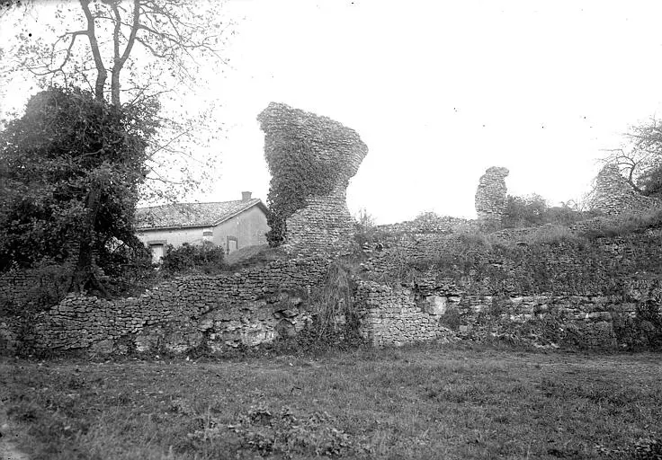
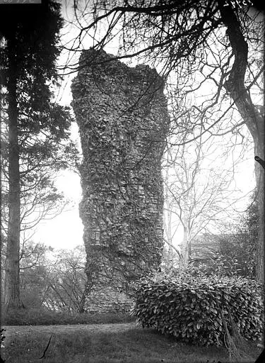
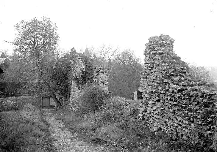
Picture of Remains of the Roman aqueduct of the Hermitage - POP Plateforme Ouverte du Patrimoine / Base Mérimée - © Ministère de la Culture (France), Médiathèque du patrimoine et de la photographie, diffusion RMN-GP Picture of Remains of the Roman aqueduct of the Hermitage - POP Plateforme Ouverte du Patrimoine / Base Mérimée - © Ministère de la Culture (France), Médiathèque du patrimoine et de la photographie, diffusion RMN-GP Picture of Remains of the Roman aqueduct of the Hermitage - POP Plateforme Ouverte du Patrimoine / Base Mérimée - © Ministère de la Culture (France), Médiathèque du patrimoine et de la photographie, diffusion RMN-GP Picture of Remains of the Roman aqueduct of the Hermitage - POP Plateforme Ouverte du Patrimoine / Base Mérimée - © Ministère de la Culture (France), Médiathèque du patrimoine et de la photographie, diffusion RMN-GP

Saint-Benoît : Remains of the Roman aqueduct of the Hermitage

Vienne

Reference

PA00105682

Latitude

46.5574168

Longitude

0.32556117

Address

20 bis Chemin de Tout Vent 86280 Saint-Benoît

Construction era

Haut-Empire

Protection date

1927/06/28 : inscrit MH

Protection cause

Aqueduc romain de l'Hermitage (restes) : inscription par arrêté du 28 juin 1927

Description

The aqueduct carried the water collected in Basse-Fontaine. Its vestiges show seven rectangular pillars measuring approximately 3.10 m long by 1.10 m wide, separated by distances of 6.80 m. Further south-east, instead of being built on arcs, it rests on a wall before becoming underground. To the northwest of the area, there are a series of three arches known as Arcs de Parigny. The underground part of the aqueduct is visible along the road.

Close monuments