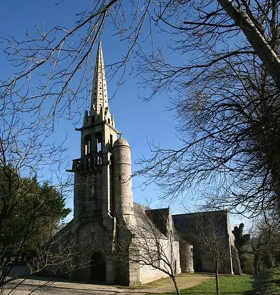
Carnoët : Rospellem Motte Castral
Côtes-d'ArmorReference
PA00135353
Latitude
48.390907
Longitude
-3.602303
Address
5557 Pontroel 22160 Carnoët
Construction era
Milieu du Moyen Age
Protection date
1995/09/18 : inscrit MH
Protection cause
Ensemble du site, à savoir : motte, basse-cour et terrain (totalité de la parcelle ZB 3, sol et sous-sol) sur lequel elles sont établies : inscription par arrêté du 18 septembre 1995
Description
The fortified complex, designed for military and economic purposes, is at the southern end of a spur of overlooking the meeting of the Alder and the Landeren stream. It consists of two main sections: a clod serving as a dam, surrounded by a large dry ditch, and a south south, located at the end of the spur. The clod, conical in shape, measures approximately fifteen meters in height. The top platform, slightly altered by excavations, has leftover stone constructions. The farmyard is protected by an imposing land lifting accompanied by a dry ditch. The entire site is in very good condition.